


Ursa Platform — At Ursa, I am one of the core developers of the Ursa Platform, a web-based satellite imagery tasking, ordering, and analytics user interface. We use Angular, Mapbox GL, and Stripe, in combination with Ursa’s Backend ...
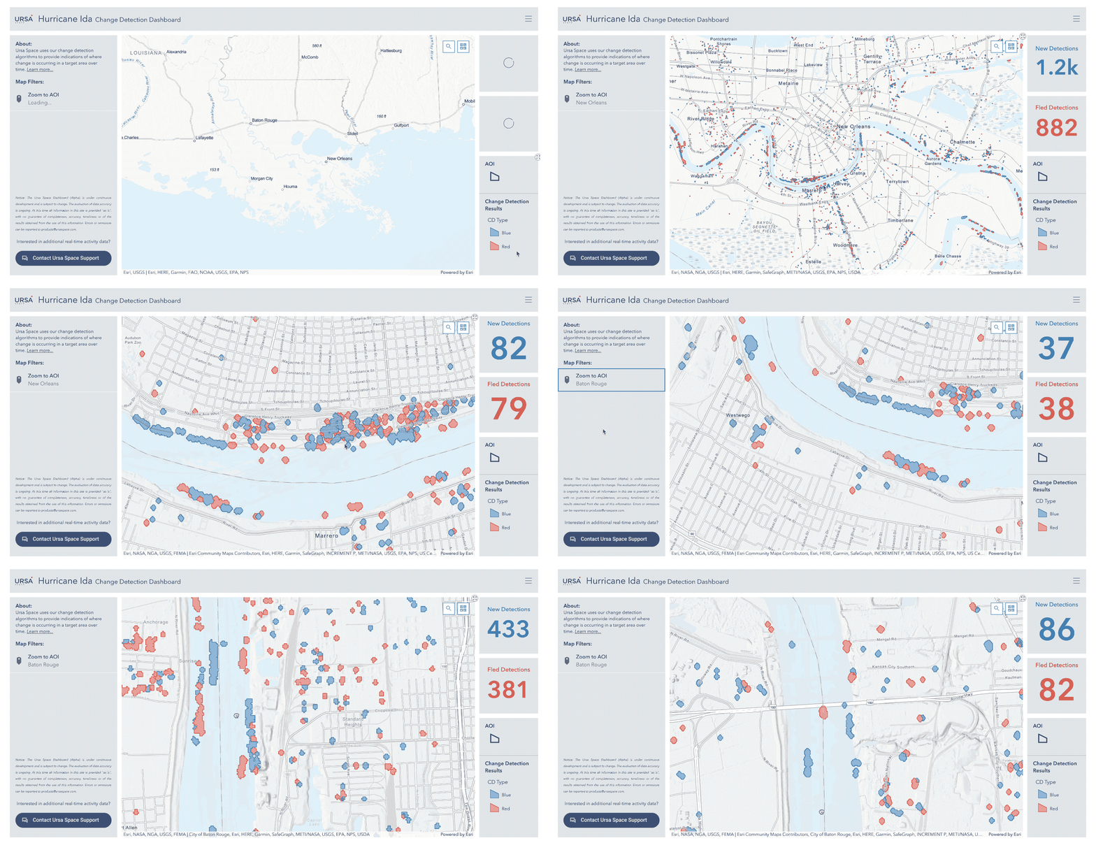
Hurricane Ida Change Detection Dashboard — Produced for Ursa Space Systems. Developed using ArcGIS Online. Dashboard displays Ursa’s SAR-based Change Detection. Read More ...
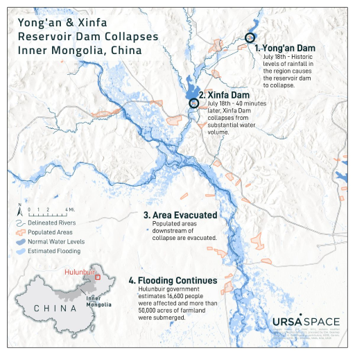
Inner Mongolia Dam Collapses — Produced for Ursa Space Systems. Designed using ArcGIS Pro. Map depicts the a SAR-based flood analysis after two reservoir dams collapsed in Hulubuir, China. Read More ...
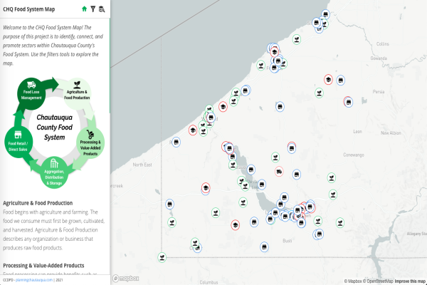
CHQ Food System Web-Map — Built using Mapbox-GL-JS, Assembly.css, and Javascript. Produced for the Chautauqua County Food Policy Council through the Chautauqua County Department of Planning & Development. The application is used to identify, promote, and connect food system sectors ...
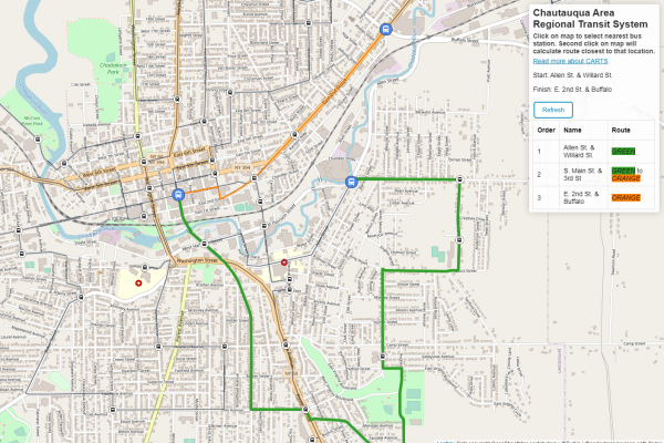
Jamestown Bus Router — For my Open Web Mapping final project, I developed a bus route trip planner for my local city, Jamestown, NY. This tool could be a benefit to the many people in Jamestown that currently use ...
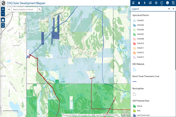
CHQ Solar Development Mapper — This application was developed by Chautauqua County to review resources relating to current and proposed solar development. The following types of data layers are available to review: Agricultural Resources, Ecological Resources, Recreational/Historical Resources, Infrastructure, and ...
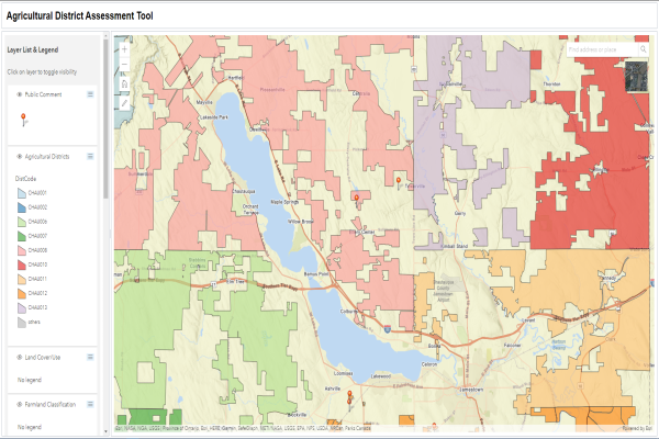
Agricultural District Assessment Tool — This tool was developed using the ArcGIS API for Javascript to gain comments from the public regarding the current boundaries of Chautauqua County’s Agricultural Districts. Comments provided will be reviewed by planning staff at the ...
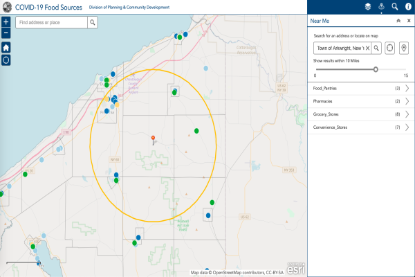
COVID-19 Food Sources — Developed through the Chautauqua County Division of Planning & Community Development. Used by community organizations to assist individuals in need of food and meals during the COVID-19 Pandemic. Built using ArcGIS Online Web Map Builder. ...
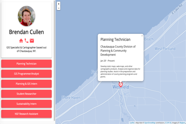
GeoResume — Personal project built using Leaflet.js and Mapbox. The web map displays my professional experiences and allows the user to interact with my resume. Designed “Mobile First” and uses responsive css. Link: https://bren96.github.io/leaflet-geoResume/ What I Learned: ...
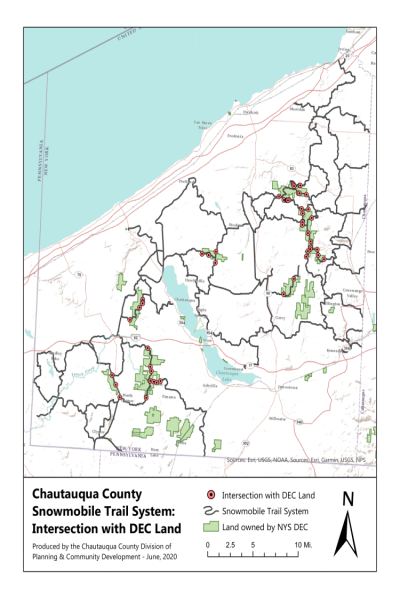
Chautauqua County Snowmobile Trail System: Intersection with DEC Land — Chautauqua County has over 400 miles of state-funded snowmobile trails. The New York Snowmobile Trail Grant Program provides funds to local governmental sponsors that engage in the development and maintenance of snowmobile trails designated as ...
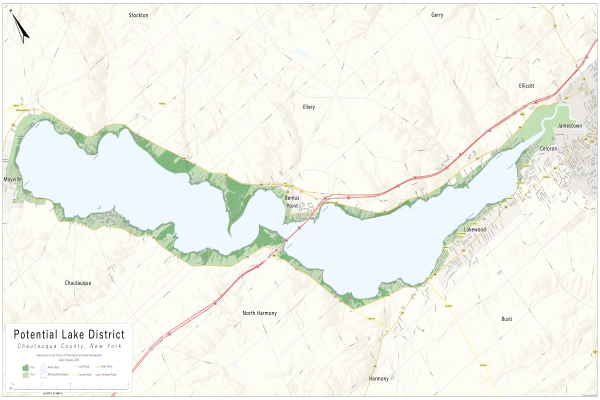
Potential Lake District — In 2018, Chautauqua County’s Legislature appointed a group of local elected officials to explore forming a Lake Protection and Rehabilitation District. The Chautauqua Lake Protection and Rehabilitation Agency was tasked with evaluating needs and making ...
Load More