Parks & Nature Preserves: Seneca County, Ohio
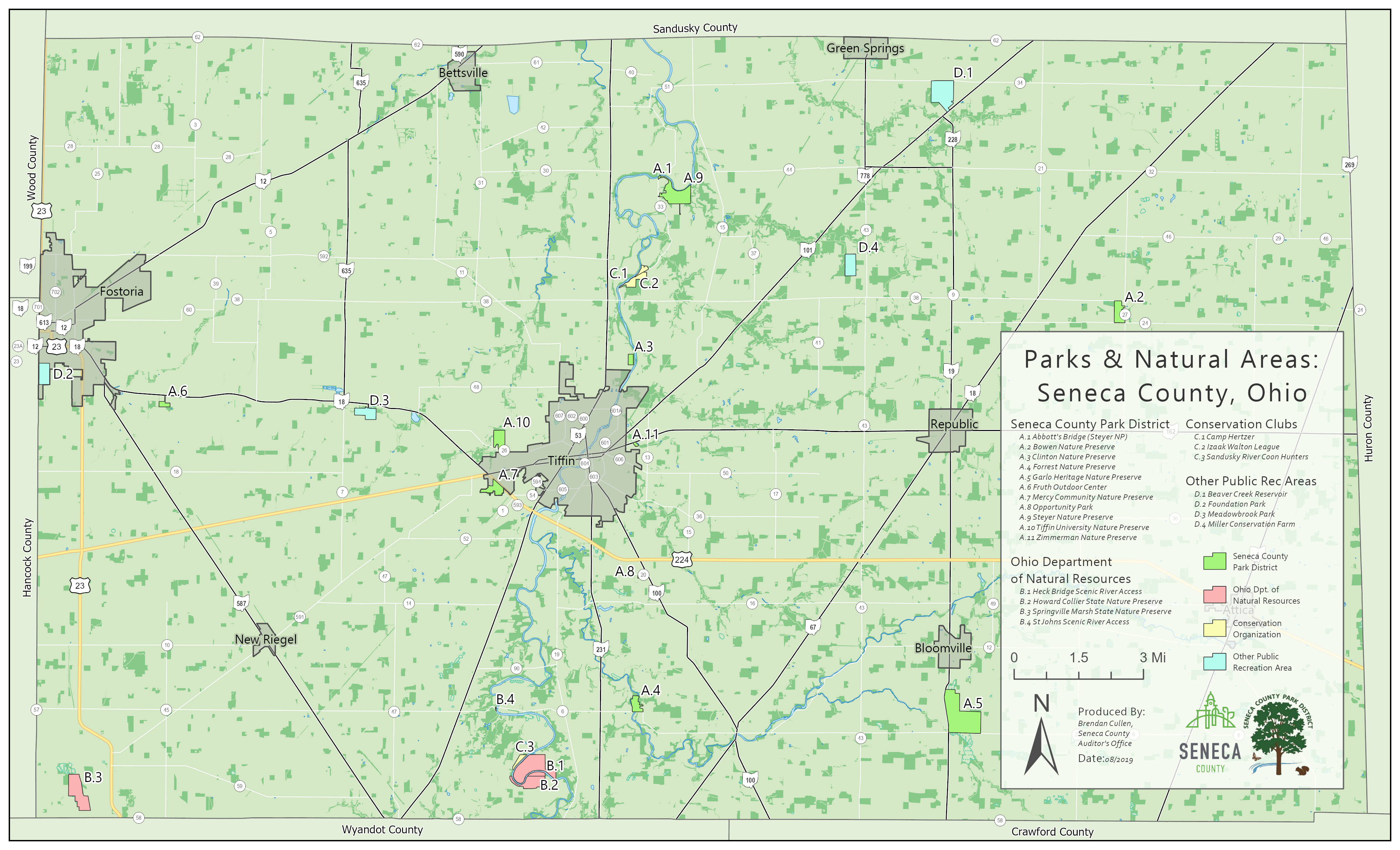
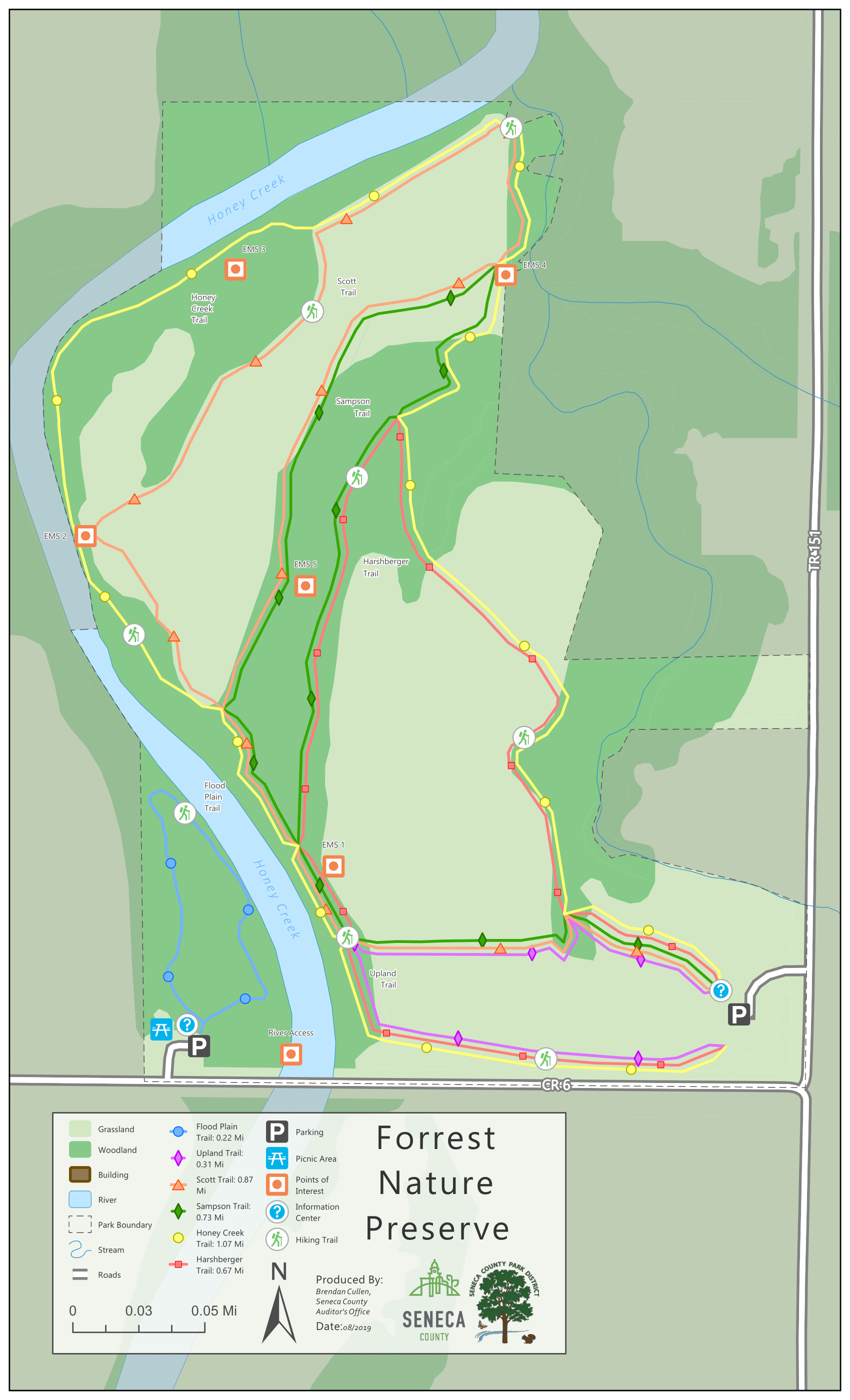
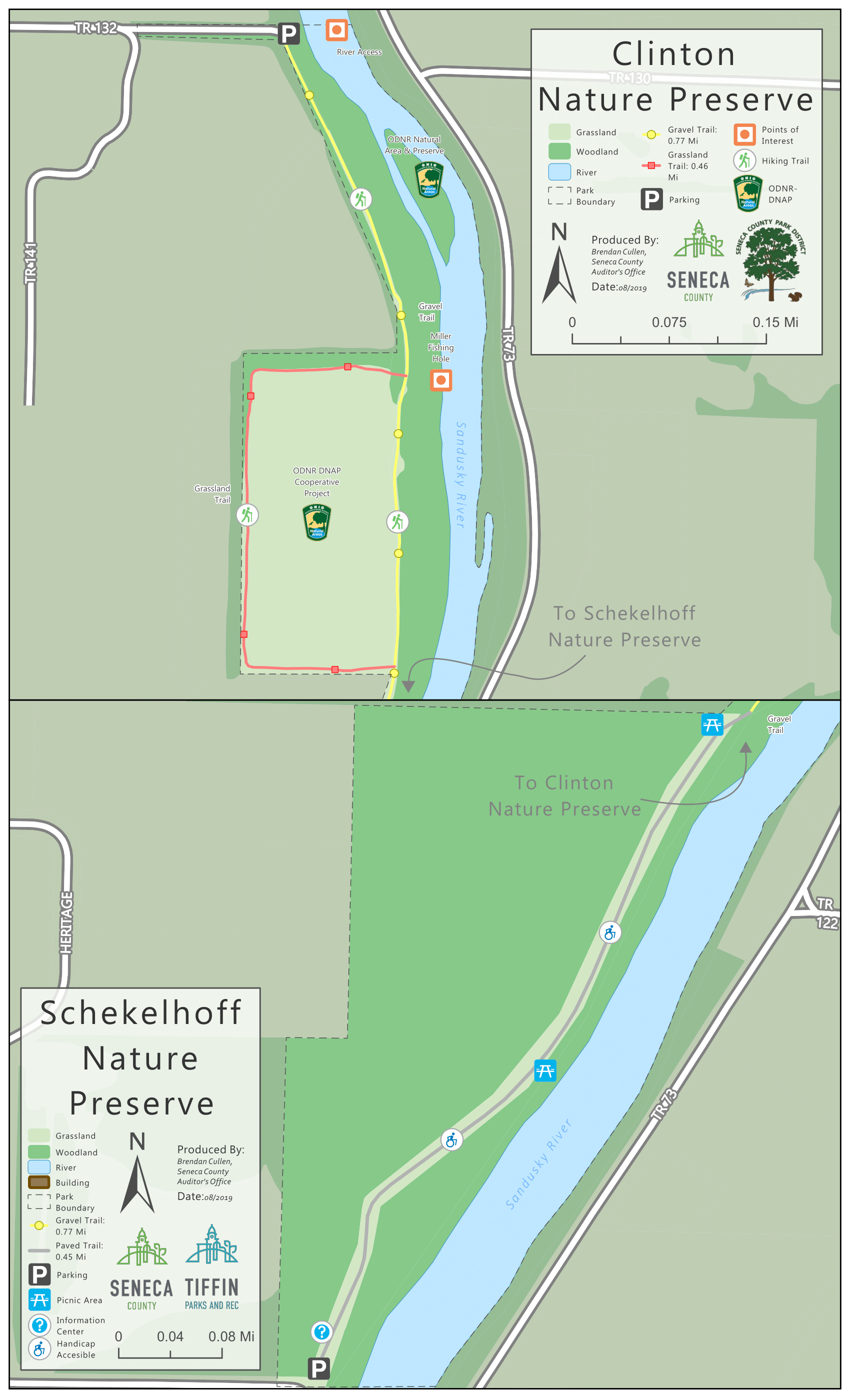
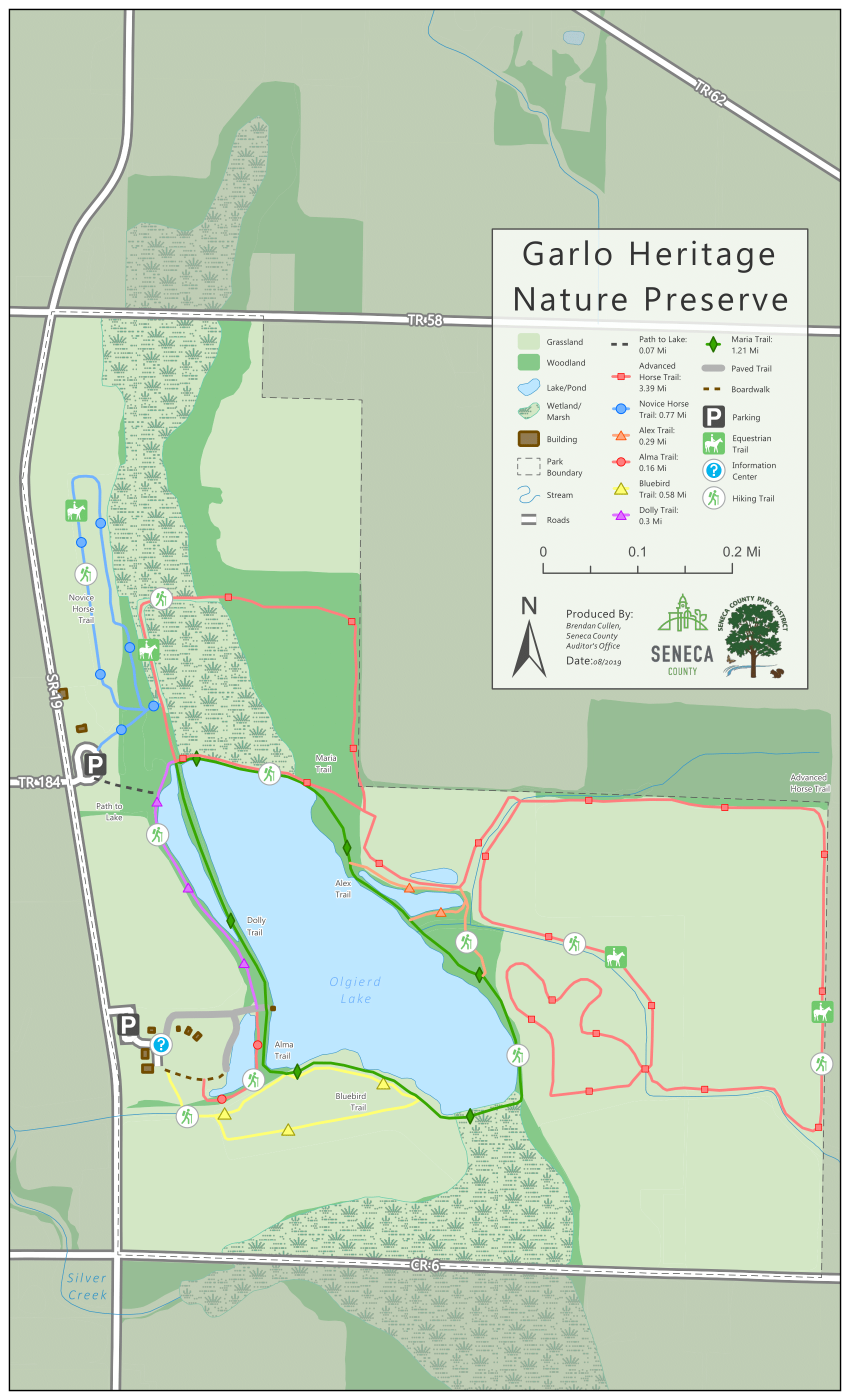
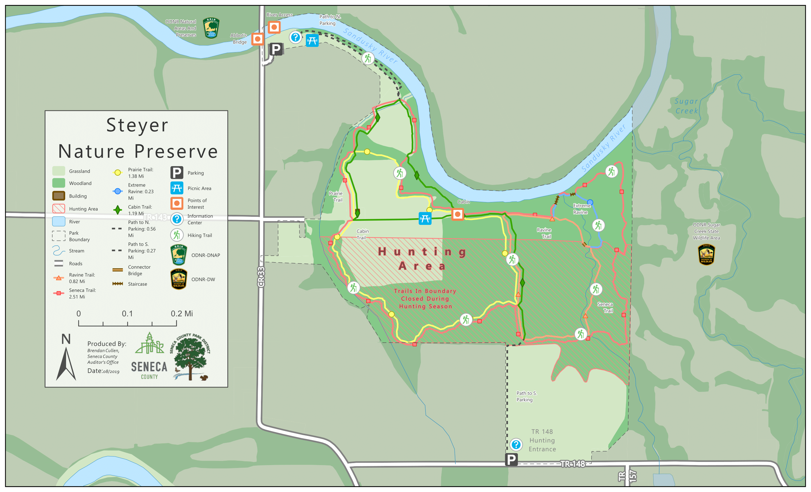
A series of 11 maps displaying updated park boundaries and trails. The trails were created using GPS points collected in the field and georeferenced old park maps. Produced for the Seneca County Park District’s new park brochures. Created using ArcGIS Pro.
The series won 2nd place in the Small Format Section of the 2019 Ohio GIS Conference Map Contest in Columbus, OH.
I am a geospatial professional who regularly utilizes GIS, Python, and Javascript to manage, analyze, and visualize data. I have always loved maps, technology, and uniquness of place.


