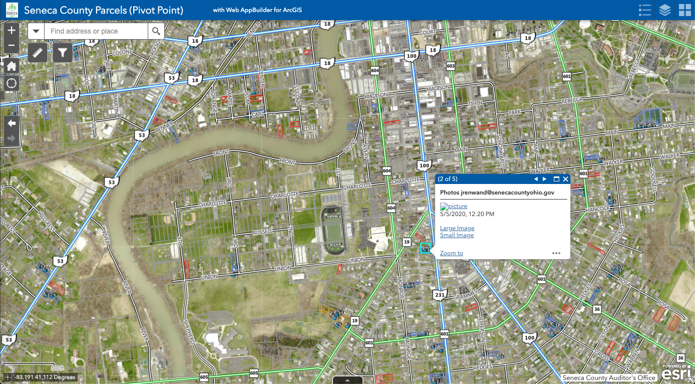
Parcel Field Review Map Application

Mapping application developed for integration with the Pivot Point Field Mobile App (3rd Party Vendor). The Auditor’s Office uses the application for tracking and managing building and destruction permits, managing parcels under review by the board of revision, and reviewing agricultural productivity for the CAUV (Current Agricultural-Use Valuation) Ohio Tax Program. Designed using the ArcGIS Online WebApp Builder.
Link: https://arcg.is/1ei01e
What I Learned: 3rd Party app integration, ArcGIS Online WebApp Builder, Custom Raster and Vector Tile Basemaps, Layer Visibility by Scale.
I am a geospatial professional who regularly utilizes GIS, Python, and Javascript to manage, analyze, and visualize data. I have always loved maps, technology, and uniquness of place.


