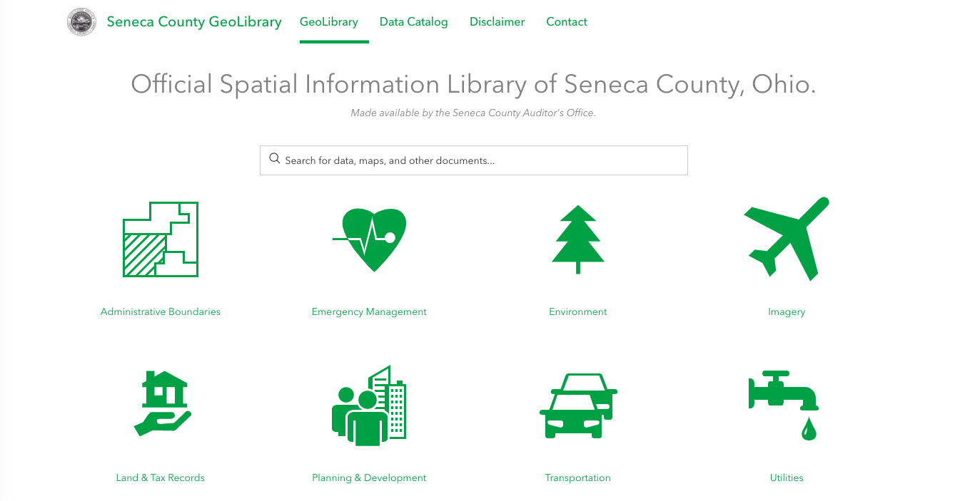
Seneca County GeoLibrary

The Seneca County GeoLibrary serves as a central catalog of GIS data and maps maintained by Seneca County, Ohio. All information in the GeoLibrary is available for the public to download and explore. Developed using ArcGIS Hub.
Link: https://portal-senecacountygis.hub.arcgis.com/
What I Learned: ArcGIS Hub, ArcGIS Online Data Management, HTML, CSS.
I am a geospatial professional who regularly utilizes GIS, Python, and Javascript to manage, analyze, and visualize data. I have always loved maps, technology, and uniquness of place.


